Regina Agu: Passage

Passage. One word so succinctly sums up so much. It could mean the small cuts, trenasses, and bayous that New Delta traveled through with contemporary artist Regina Agu as she revisited many of the sites painted in the 19th-century by artists who were trying to convey the uniqueness of Louisiana’s watery frontier. Or, it could be the changes, the passages, that the landscape and people went through as humanity colonized the delta since that time.
IMG_4853.JPG

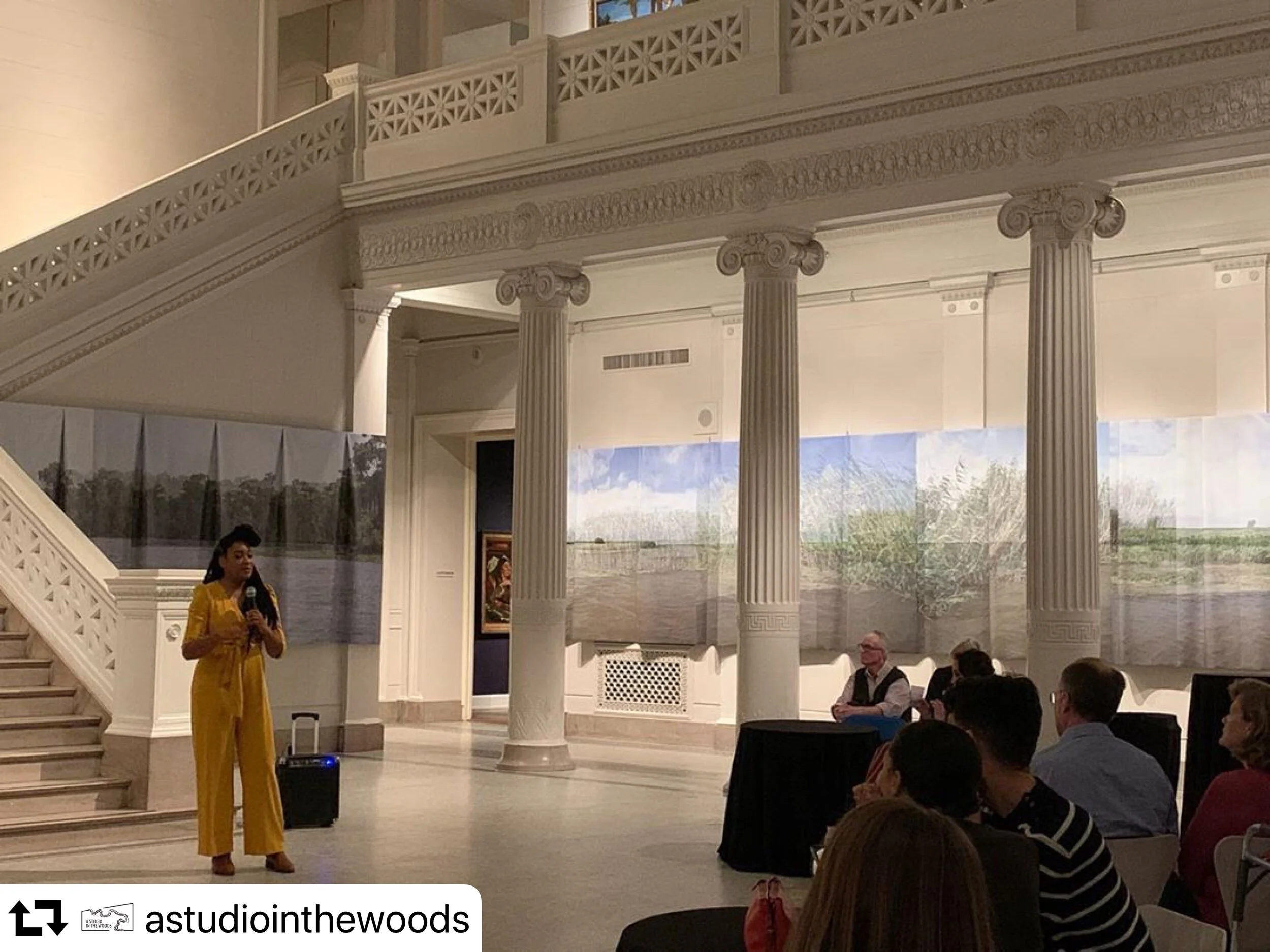
Regina’s 100-foot-long installations that hang in the entry to the New Orleans Museum of Art set the tone for “Inventing Acadia: Painting and Place in Louisiana.” Her work titled, “Passage,” felt almost airy compared to the dense scenes showing the landscape before humanity clear cut, moved out indigenous folks, and built levees. The size of her work is massive, consuming most of the wall space in the museum’s Great Hall. Yet when people walk past, the canvas moves like the water and roseau in the art. The piece defies the solid landscapes of a Louisiana past like the below.
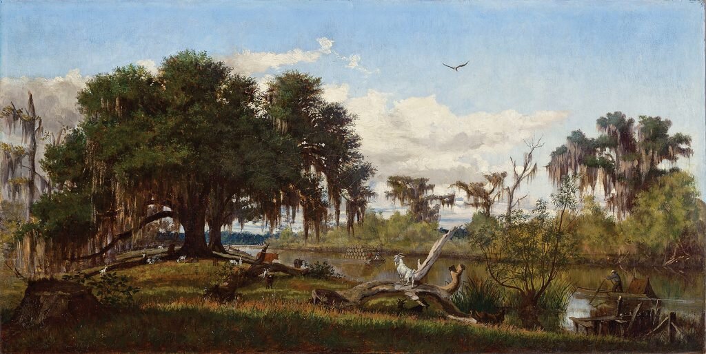
Life Along a Louisiana Bayou 1877 Everett B. D. Fabrino

Life Along a Louisiana Bayou 1877 Everett B. D. Fabrino

Satellites, Algorithms, and Wetland Changes in the Delta

One of our recent trips had us working with a NASA scientist out of the Ames Research Center in California. Dr. Chris Potter is working with scientists at Tulane University to map out recent gains in marsh vegetation cover along the rim of Breton Sound.

Path for data collection.

Path for data collection.

One of the areas where we focused was across the Mississippi River from Fort Jackson near Fort St. Phillip where Chris is ground truthing data collected by NASA satellites to determine just what is new land. The team then uses vegetation reflection and elevation data to identified the many new areas in the estuary where land has been restored following the storm surge inundation from Hurricanes Katrina and Gustav in 2005 and 2008. Our trip was just as the water receded after the record flood year of 2019. It was exciting to see some of the newest land up close. A few places far from land will soon be emerged part of the year. The river is doing what rivers do, building land!

Wetlands on freshly built land.

Wetlands on freshly built land.

On the trip he was able to verify hundreds of locations where new land has been built and to validate the latest results from satellite image classifications of new marshland vegetation cover versus floating aquatic plants on the open water near Fort Jackson. Delta Discovery was able to get Chris into the heart of a coastal restoration project, BS-11 where a good bit of land has been built in recent years. Here is a time-lapse of that area from 2006 through this summer. On this trip we used the mud boat, which is a great tool when working with scientists. It allows access into areas that are in transition and is super efficient.


-Richie

The mud boat gets us where the critical data is found.

The mud boat gets us where the critical data is found.